A High‐Resolution Land Data Assimilation System Optimized for the Western United States
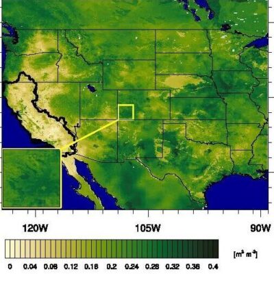
ESSIC/CISESS Assistant Research Scientist Jessica M. Erlingis is first author on a new paper out in Journal of the American Water Resources Association titled “A High‐Resolution Land Data Assimilation System Optimized for the Western United States”. Her co-authors include ESSIC/CISESS scientists Bailing Li and Sujay Kumar as well as researchers from NASA Goddard Space Flight Center, University of Saskatchewan, Jet Propulsion Laboratory, and the California State Water Resources Control Board.


