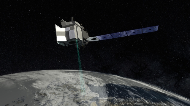
Tracking Wildfires from Space
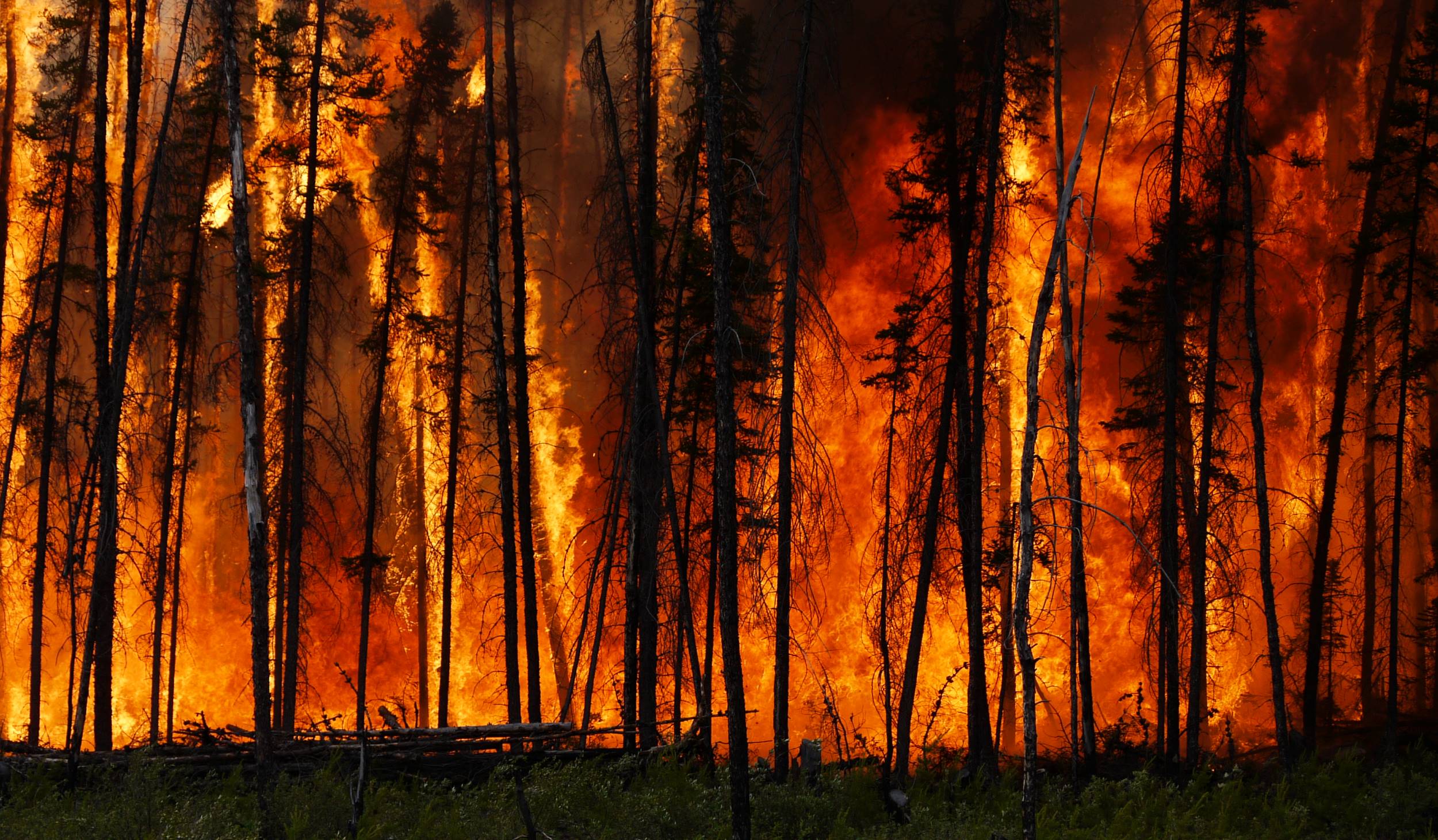
As the climate warms, wildfires are becoming more severe and unpredictable. Shifts in wind, weather, and fuel conditions can cause fires to change direction or
")
As the climate warms, wildfires are becoming more severe and unpredictable. Shifts in wind, weather, and fuel conditions can cause fires to change direction or
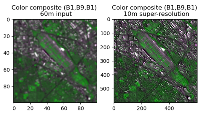
NOAA Center for Satellite Applications and Research (STAR) scientists are exploring new capabilities of enhancing satellite images with artificial intelligence (AI) so that moderate resolution images could be enhanced to include more detailed features with high resolution.
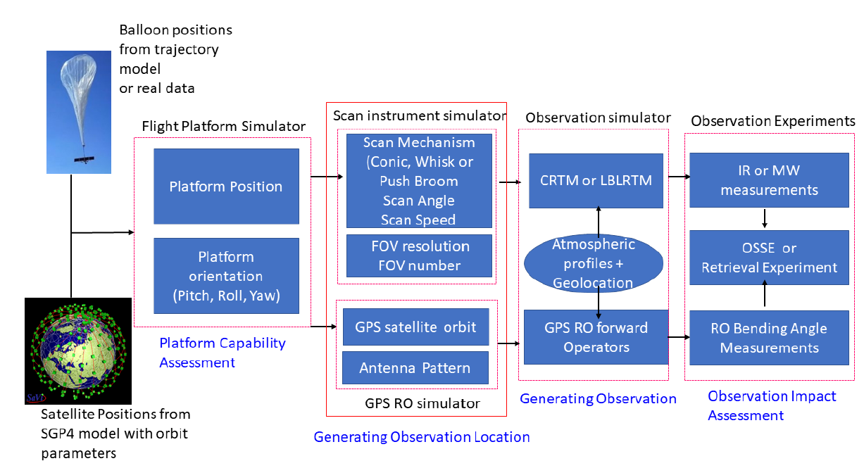
ESSIC/CISESS Scientists Likun Wang, Ross Hoffman and Kayo Ide have a new manuscript accepted for publication at the Journal of Atmospheric and Oceanic Technology titled “Orbit Simulator for Satellite and Near Space Platforms Supporting Observing System Simulation Experiments”.
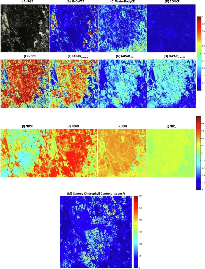
ESSIC/CISESS Scientist Qingyuan Zhang has a new article to be published in International Journal of Applied Earth Observation and Geoinformation that characterizes the seasonally snow-covered Howland boreal forest ecosystem in Maine, USA with satellite images.
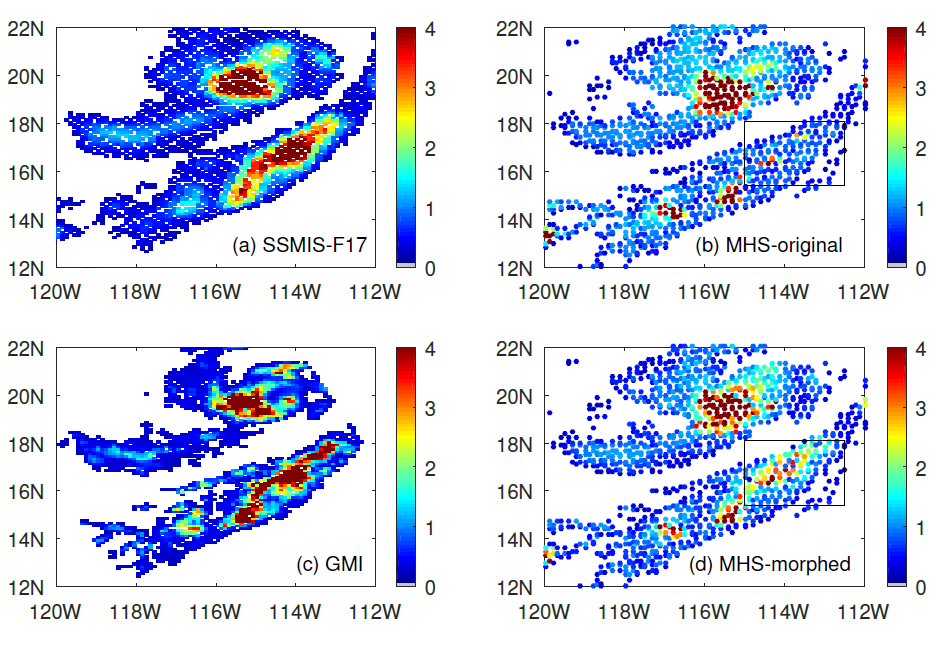
ESSIC/CISESS Scientists Yalei You, John Xun Yang, and Jun Dong have a new article on using “morphing” to improve rain data from cross-track scanning radiometers. The paper, titled “Improving Cross-track Scanning Radiometers’ Precipitation Retrieval over Ocean by Morphing”, is in press at the Journal of Hydrometeorology.
More than a trillion new measurements of the Earth’s surface height are now available to the public as the first results of ICESat-2, a mission devoted to measuring the changing height of Earth’s ice.