")
Farrell and Thomas Discuss the Hidden Talents of ICESat-2
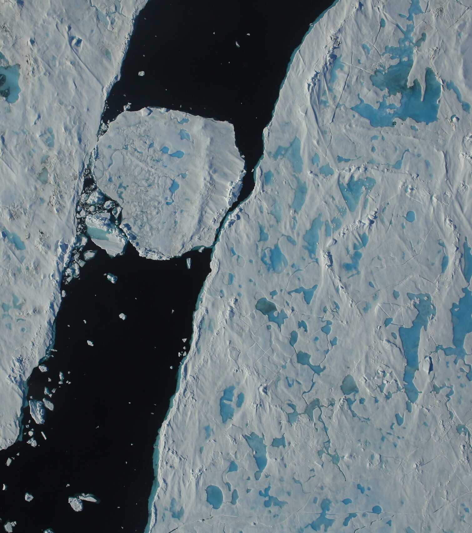
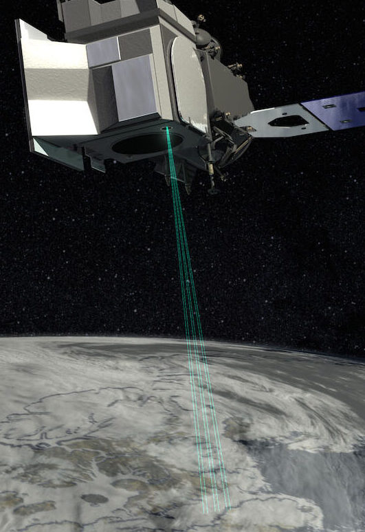
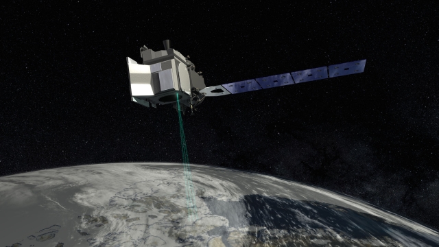
A new NASA Goddard feature highlights how the Ice, Cloud, and Land Elevation Satellite 2 (ICESat-2), originally intended to precisely measure the height of the ice sheets at Earth’s poles, of sea ice floes above the ocean waters, and of forest canopies, has gone beyond its original purposes to map the Earth’s surface. In the article, ESSIC/CISESS scientists Sinéad Farrell and Nathan Thomas are quoted discussing these unintended benefits.