")
Watch the Longest Lightning Flash Ever
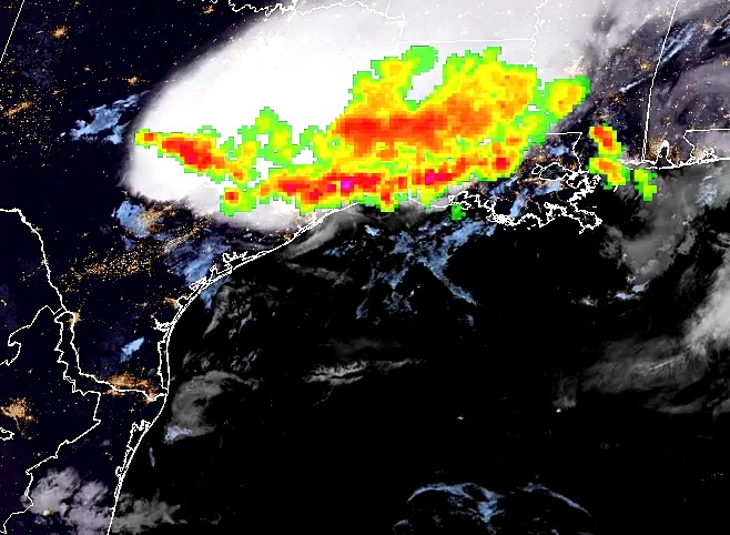
The ESSIC/CISESS Geostationary Lightning Team team, which includes Scott Rudlosky and Daile Zhang, have released a new ArcGIS Story Map via the NOAA GeoPlatform titled “Longest Lightning Flash Ever?”. This website provides stunning visualizations of a recently documented world record flash that covered a horizontal distance of 768 km (477.2 miles) on April 29, 2020. This is equivalent to the distance between New York City and Columbus, Ohio. This flash was recently certified as the longest single flash world record, as covered in an ESSIC press release.
