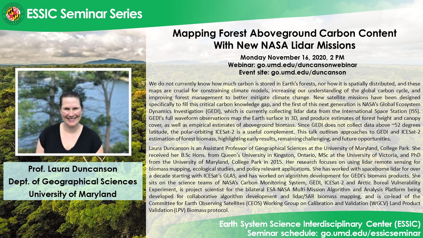
Mapping Forest Aboveground Carbon Content With New NASA Lidar Missions
This event has passed. See the seminar recording here:

Prof. Laura Duncanson
Department of Geographical Sciences
University of Maryland
Monday November 16, 2020, 2 PM
Abstract:
We do not currently know how much carbon is stored in Earth’s forests, nor how it is spatially distributed, and these maps are crucial for constraining climate models, increasing our understanding of the global carbon cycle, and improving forest management to better mitigate climate change. New satellite missions have been designed specifically to fill this critical carbon knowledge gap, and the first of this next generation is NASA’s Global Ecosystem Dynamics Investigation (GEDI), which is currently collecting lidar data from the International Space Station (ISS). GEDI’s full waveform observations map the Earth surface in 3D, and produce estimates of forest height and canopy cover, as well as empirical estimates of aboveground biomass. Notably, GEDI does not collect data north of ~52 degrees latitude due to the orbit of the ISS. Fortunately, a second NASA lidar system, ICESat-2, is collecting a different flavor of lidar data, but on a polar orbiting satellite with global coverage. Efforts are also underway to produce forest biomass (carbon) products using ICESat-2 data, and together these two instruments will provide a more accurate global estimate of forest biomass than have been previously available. This talk outlines approaches to GEDI and ICESat-2 estimation of forest biomass, highlighting early results, remaining challenging, and future opportunities.
Bio-sketch:
Laura Duncanson is an Assistant Professor of Geographical Sciences at the University of Maryland, College Park. She received her B.Sc Hons. from Queen’s University in Kingston, Ontario, MSc at the University of Victoria, and PhD from the University of Maryland, College Park in 2015. Her research focuses on using lidar remote sensing for biomass mapping, ecological studies, and policy relevant applications including forest conservation. She has worked with spaceborne lidar for over a decade starting with ICESat’s GLAS, and has worked for the past five years on algorithm development for GEDI’s biomass products. She was a NASA Postdoctoral fellow at NASA Goddard from 2015-2017, and many of her projects involve collaborations between the University of Maryland and NASA Goddard. She sits on the science teams of NASA’s Carbon Monitoring System, GEDI, ICESat-2 and Arctic Boreal Vulnerability Experiment, is project scientist for the bilateral ESA-NASA Multi-Mission Algorithm and Analysis Platform being developed for collaborative algorithm development and lidar/SAR biomass mapping, and is co-lead of the Committee for Earth Observing Satellites (CEOS) Working Group on Calibration and Validation (WGCV) Land Product Validation (LPV) Biomass protocol.
Webinar info:
Webinar thread: https://go.umd.edu/duncansonwebinar
Event site: https://go.umd.edu/duncanson
Webinar number: 120 721 9293
Webinar password: essic
To join the audio conference only:
US Toll: +1-415-655-0002
Global call-in numbers
For IT assistance:
Cazzy Medley: cazzy@umd.edu
Travis Swaim: tswaim1@umd.edu
Resources:
Seminar schedule & archive: https://go.umd.edu/essicseminar
Seminar Google calendar: https://go.umd.edu/essicseminarcalendar
Seminar recordings on Youtube: https://www.youtube.com/user/ESSICUMD

